A magnitude 7 earthquake that hit off the coast of northern California Thursday (Dec. 5) has prompted a tsunami warning in the Pacific Ocean, according to the U.S. Tsunami Warning System.
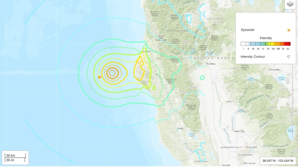
The earthquake hit at 10:44 a.m. PST (18:44 UTC) at a depth of about 0.4 mile (0.6 kilometers), according to the U.S. Geological Survey (USGS). The earthquake occurred off the coast, about 39 miles (63 km) northwest of the city of Petrolia in Humboldt County. It’s likely that these numbers will be updated as the USGS gathers more information.
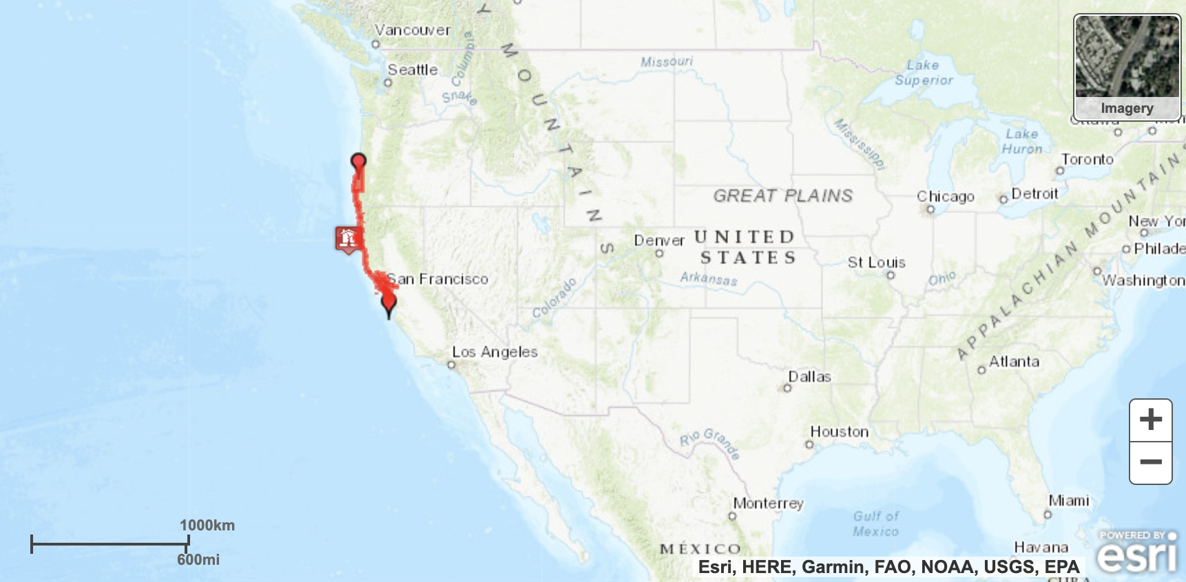
The tsunami warning stretches from mid-Oregon to just north of Santa Cruz, a region that includes the San Francisco Bay Area. Preliminary data suggest that “hazardous tsunami waves are possible for coasts located within 300 km [186 miles] of the earthquake epicenter,” according to the Tsunami Warning System. There is currently no tsunami threat to Hawaii.
The tsunami warning stretches from the Oregon-California border to just north of Santa Cruz, a region that includes the San Francisco Bay Area. Preliminary data suggest that “hazardous tsunami waves are possible for coasts located within 300 km [186 miles] of the earthquake epicenter,” according to the Tsunami Warning System. There is currently no tsunami threat to Hawaii.
Related: The 20 largest recorded earthquakes in history

Currently, the USGS is reporting that the “landslides triggered by this earthquake are estimated to be limited in number.” According to the USGS Shake Map, people reported feeling extreme shaking on the California coast by the earthquake.
Other small earthquakes, including a magnitude 4.2 and a magnitude 3.3, have also hit the area today. There are no immediate reports of damage, according to the Los Angeles Times.
