
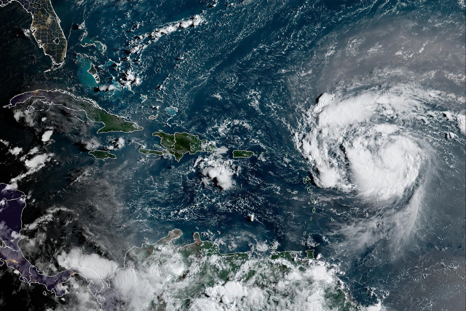
Tropical Storm Erin is forecast to strengthen into a hurricane on Friday, marking the first Atlantic hurricane to form this year.
Erin, swirling in the open water of the tropical Atlantic about 570 miles east of the Northern Leeward Islands, will strengthen over the next few days and could become a major hurricane by the weekend, the National Hurricane Center said in a Friday morning advisory.
With 70 mph winds moving west-northwest at 17 mph, Erin’s center is expected to move near or just north of the northern Leeward Islands over the weekend.
A tropical storm watch is in effect for the Caribbean islands of Anguilla, Barbuda, St. Martin, St. Barthelemy, Saba and St. Eustatius, and Sint Maarten. A tropical storm watch means tropical storm conditions are possible within 48 hours.
Erin is expected to produce heavy rainfall late Friday through the weekend across the northernmost Leeward Islands, the U.S. and British Virgin Islands, and southern and eastern Puerto Rico.
Two to four inches of rainfall, with isolated areas of six inches, is forecast, which could lead to isolated flash and urban flooding, landslides and mudslides.
Erin will also generate swells that will impact the Leeward Islands, Virgin Islands and Puerto Rico by this weekend.
“These swells are likely to cause life-threatening surf and rip current conditions,” the National Hurricane Center warned.